
Terrace Theater
Bandai-Azuma and Inawashiro
Explore the nature, history, and culture of the Bandai-Azuma and Inawashiro areas of Bandai-Asahi National Park, whose lakes, forests, and wetlands have been shaped by volcanic activity over hundreds of thousands of years. Past eruptions created distinctive terrain such as the Oguninuma Wetland and the colorful Goshikinuma Ponds.
Local communities respect the ecosystem and enjoy the benefits and abundance it provides. Natural hot springs, for example, are used to create bathing facilities that attract visitors. Scenic routes like the Mt. Bandai Gold Line and the Bandai-Azuma Skyline afford views of the region's mountains and forests. Activities like canoeing, camping, and fishing around Lake Hibara allow visitors to connect with the natural environment.
Goshikinuma Sightseeing Trail
The Goshikinuma Ponds are a collection of around 30 ponds formed after an eruption of Mt. Bandai in 1888. They have distinct coloration caused by volcanic sediments and mineral particles such as aluminum silicate, iron, copper, and manganese. Their colorful copper, blue, and green hues change subtly according to light conditions, shifts in sediment, reflections on the surface of the water, and other factors. A 4-kilometer trail to Lake Hibara starts near the Urabandai Visitor Center and passes several of the ponds, including Bishamonnuma and Rurinuma. Mt. Bandai is visible in the distance from points along the trail.
The woodlands surrounding the ponds abound with greenery during the spring and summer months. In the fall, leaves turn brilliant shades of red, orange, and yellow. As the weather grows colder, snowfall blankets the Urabandai region in white. Visitors are free to explore the ponds in winter but should always check the latest weather and trail conditions at the Urabandai Visitor Center. The constantly evolving natural scenery showcases the plant biodiversity and geological history of Urabandai.
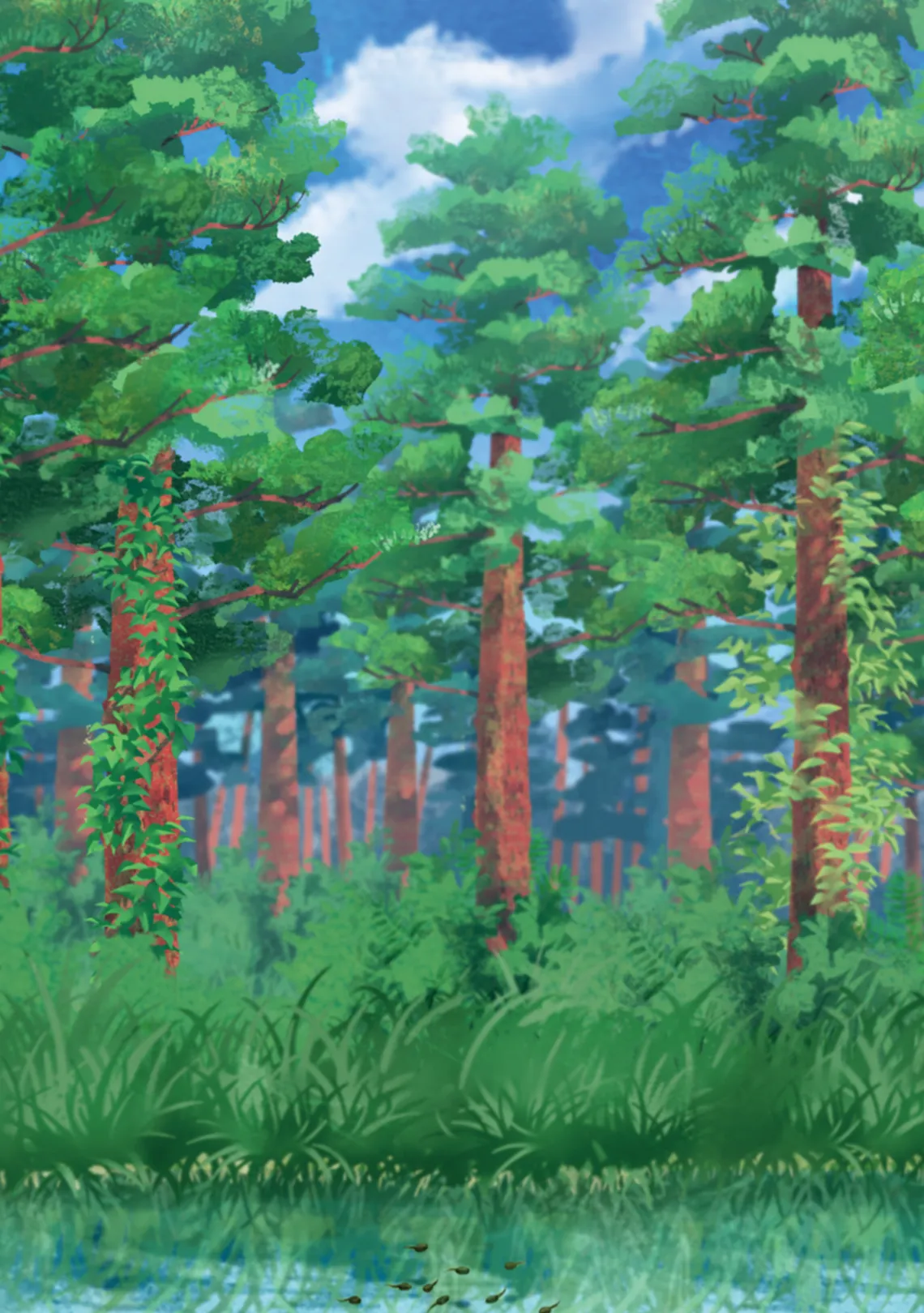
Nakasenuma Sightseeing Trail
Nakasenuma is one of many ponds and lakes created after the 1888 eruption of Mt. Bandai. This level, 1.2-kilometer trail takes hikers past small hills formed by debris flows after the eruption, to an observation deck near the pond. The observation deck affords a view of the pond with Mt. Bandai in the background. A crater is visible in the side of the mountain that was formed when one of Mt. Bandai's peaks collapsed during the eruption.
In warmer months, the narcissus flycatcher (Ficedula narcissina), with its distinctive yellow-orange breast, and the brown Japanese bush warbler (Horornis diphone) can be seen around the pond, along with butterflies like the high brown fritillary (Fabriciana adippe) and the Japanese dart (Potanthus flavus). Dragonflies, cicadas, and frogs also dwell in the area.
In summer, daisy-like blooms of sawaoguruma (Tephroseris pierotii) add splashes of vivid yellow to the shore area of the pond, and the Siberian hydrangea (Hydrangea serrata var. yesoensis) accents the landscape with pale blue and pink petals. In autumn, a palette of oranges and reds unfolds across the land, while a layer of snow blankets the ground in winter.
Oguni Seseragi Trail
The peaceful murmur of the Oshizawa River accompanies hikers on the Oguni Seseragi Trail. This 3.3-kilometer trail begins from a point just off National Route 459 and leads through a forest to Oguninuma Pond. It takes approximately 1 hour and 20 minutes to walk one-way. Alpine flora grows around the pond and in the surrounding wetland. A wooden boardwalk provides access to the wetland while protecting it from damage. Oguninuma Pond formed following an eruption of Mt. Nekomadake around 400,000 years ago.
A rest hut near the pond has information boards and maps explaining the impact of the Mt. Nekomadake eruption and introducing geological features and local flora. During the summer months, white hellebore (Veratrum stamineum), Nikko day lilies (Hemerocallis esculenta), and hare's-tail cottongrass (Eriophorum vaginatum) thrive in the wetland. In winter, snow blankets the entire area in white.